Grab, Lučani
| Grab Граб | |
|---|---|
| Village | |
 Grab | |
| Coordinates: 43°49′N 20°16′E / 43.817°N 20.267°E | |
| Country |
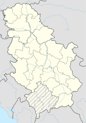
|
| District | Moravica District |
| Municipality | Lučani |
| Area | |
| • Total | 12.08 km2 (4.66 sq mi) |
| Elevation | 488 m (1,601 ft) |
| Population (2011) | |
| • Total | 242 |
| • Density | 20/km2 (52/sq mi) |
| Time zone | UTC+1 (CET) |
| • Summer (DST) | UTC+2 (CEST) |
Grab is a village in the municipality of Lučani, Serbia. According to the 2011 census, the village has a population of 242 people.[1]
References
This article is issued from
Wikipedia.
The text is licensed under Creative Commons - Attribution - Sharealike.
Additional terms may apply for the media files.