Grab, Podkarpackie Voivodeship
| Grab | |
|---|---|
| Village | |
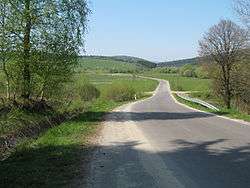 Road through the village | |
 Grab | |
| Coordinates: 49°27′N 21°26′E / 49.450°N 21.433°E | |
| Country |
|
| Voivodeship | Subcarpathian |
| County | Jasło |
| Gmina | Krempna |
Grab [ɡrap] (Ukrainian: Граб, Hrab) is a village in the administrative district of Gmina Krempna, within Jasło County, Subcarpathian Voivodeship, in south-eastern Poland, close to the border with Slovakia. It lies approximately 10 kilometres (6 mi) south-west of Krempna, 34 km (21 mi) south of Jasło, and 77 km (48 mi) south-west of the regional capital Rzeszów.[1]
Prior to Operation Vistula it was largely inhabited by Lemkos.
Two World War I cemeteries are located in the village.
References
| Wikimedia Commons has media related to Grab, Podkarpackie Voivodeship. |
This article is issued from
Wikipedia.
The text is licensed under Creative Commons - Attribution - Sharealike.
Additional terms may apply for the media files.