Galaure
| Galaure | |
|---|---|
 | |
| Country | France |
| Physical characteristics | |
| Main source |
Roybon 635 m (2,083 ft) 45°16′26″N 05°18′31″E / 45.27389°N 5.30861°E |
| River mouth |
Rhône 125 m (410 ft) 45°10′37″N 04°48′47″E / 45.17694°N 4.81306°ECoordinates: 45°10′37″N 04°48′47″E / 45.17694°N 4.81306°E |
| Length | 56.2 km (34.9 mi) |
| Discharge |
|
| Basin features | |
| Progression | Rhône→ Mediterranean Sea |
| Basin size | 232 km2 (90 sq mi) |
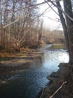
The Galaure (French: la Galaure) is a 56.2 km (34.9 mi) long river in the Isère and Drôme départements, southeastern France. Its source is in Roybon. It flows generally west-southwest. It is a left tributary of the Rhône into which it flows at Saint-Vallier.
Départements and communes along its course
This list is ordered from source to mouth:
- Isère: Roybon, Saint-Pierre-de-Bressieux, Montfalcon,
- Drôme: Montrigaud,
- Isère:Saint-Clair-sur-Galaure,
- Drôme: Le Grand-Serre, Hauterives, Châteauneuf-de-Galaure, Mureils, La Motte-de-Galaure, Saint-Barthélemy-de-Vals, Saint-Uze, Saint-Vallier,
Notes
- This article is based on the equivalent article from the French Wikipedia, consulted on March 30th 2009.
References
This article is issued from
Wikipedia.
The text is licensed under Creative Commons - Attribution - Sharealike.
Additional terms may apply for the media files.