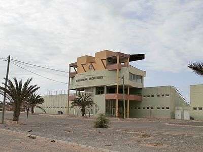
Estádio Municipal Arsénio Ramos
 | |
 Estádio Municipal Arsénio Ramos | |
| Location | Sal Rei on Boavista |
|---|---|
| Coordinates | 16°10′45″N 22°54′33″W / 16.1792°N 22.9093°W |
| Owner | Municipality of Boa Vista |
| Operator |
Boa Vista Regional Football Association Boa Vista Regional Athletics Association |
| Capacity | 500 |
| Construction | |
| Opened | February 9, 2008 |
| Construction cost | CVE 110 million |
| Tenants | |
|
Académica Operária Sal-Rei Sanjoanense Sporting | |
Estádio Municipal Arsénio Ramos is a multi-use stadium in Boa Vista, Cape Verde, it is used for both football and athletics. Its location is northeast of the town center south of the town perimeter road, a bypass connecting the port and places in the east and south of the island. It is at the urban limit and close to the island's industrial area located in the east and former salt mines to the west along with its beach and its newly built hotels and villas. It is currently used mostly for football matches and is the home stadium of Académica Operária, Sal-Rei, Sanjoanense and Sporting. The stadium holds 500 people.[1] It is named for Arsénio Ramos, its size is 104x66 m and its grass is natural.
The stadium was first opened on February 9, 2008.[2][3]
Before the stadium opened, the football (soccer) field was in the western end of the city next to the port and the Atlantic. A basketball court later built on the former space and recently small residential complexes has been built on the site.
The Boa Vista Regional Athletics Association has its own championships, regional competitions takes place every season.
See also
References
- ↑ "Stadiums in Cape Verde". World Stadiums. WorldStadiums.Com. Archived from the original on 30 December 2011. Retrieved 21 December 2011.
- ↑ Câmara Municipal da Boa Vista inaugura novo estádio Infopress, 5 February 2008 (in Portuguese), retrieved on 17 September 2014
- ↑ "Boa Vista: Arsénio Ramos inaugurado com selecção do Sal a vencer" [Arsénio Ramos Opened with a Sal club and Won]. A Semana (in Portuguese). February 11, 2008. Retrieved November 15, 2013.
Coordinates: 16°10′45″N 22°54′34″E / 16.17917°N 22.90944°E