Dzharylhach
| Native name: Джарилгач | |
|---|---|
 | |
 Dzharylhach | |
| Geography | |
| Coordinates | 46°01′N 32°54′E / 46.017°N 32.900°ECoordinates: 46°01′N 32°54′E / 46.017°N 32.900°E |
| Adjacent bodies of water | Karkinit Bay, Dazharylhach Bay |
| Area | 56 km2 (22 sq mi) |
| Length | 42 km (26.1 mi) |
| Highest elevation | 2 m (7 ft) |
| Administration | |
|
Ukraine | |
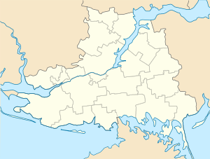
| Oblast | Kherson Oblast |
| Raion | Skadovsk Raion |
| Demographics | |
| Population | Uninhabited (2001)2001 Ukrainian Census |
Dzharylhach (Cyrillic: Джарилгач, also spelled as Dzharylgach) is an island in Skadovsk Raion, Kherson Oblast near Crimea in Ukraine. Along with the Tendra island that lays to the west, in the past it was a spit that Greeks called "Achilles Run". To the west it stretches as a spit and as a shoal, which sometimes dries up, and connects to the continental portion of Kherson Oblast near the town of Lazurne.
Across from the island over the Dazharylhach Bay is the city of Skadovsk. Dzharylhach and its bay is part of the Dzharylhach National Nature Park.
Its area of 56 square km and length of 42 km make it the Black Sea's biggest island, located at the Karkinit Bay. The island has clean sandy beaches and mineral springs. In the middle of the island there is a fresh water spring, and more than four hundred small salty lakes are scattered all over its territory. The unique flora and fauna of Dzharylhach have been well preserved. It is a habitat for wild boars, deer, mouflon, as well as numerous seagulls and cormorant, hunting crabs, raps whelk and shrimp.
.jpg)
Gallery
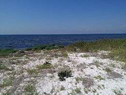
 Dzharylhach beach line
 Mass grave of Soviet soldiers
 Beach resort with a pier (2013)
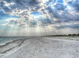
 "Turtle beach" (2013)
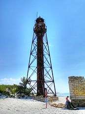 Old lighthouse
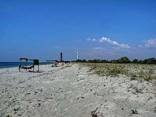 Another beach with two lighthouse in the background, old and new (2012)
References
- zatyshny.com.ua
- brama.com
- Photo gallery of Dzharylgach island
- Dzharylhach island. Kherson region guide.
- Dzharylhach. Geographic coordinates