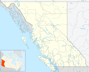
Durieu, British Columbia
| Durieu | |
|---|---|
 Durieu Location of Durieu in British Columbia | |
| Coordinates: 49°13′14″N 122°14′31″W / 49.22056°N 122.24194°WCoordinates: 49°13′14″N 122°14′31″W / 49.22056°N 122.24194°W | |
| Country |
|
| Province |
|
| Area code(s) | 250, 778 |
Durieu is a farming community, located on Hatzic Prairie northeast of Mission, British Columbia, Canada in the Fraser Valley region of that province's Lower Mainland. Also known locally as Hatzic Prairie, it has few services other than a store, feed co-op, school and community hall.
The community was named for Archbishop Paul Durieu.
References
This article is issued from
Wikipedia.
The text is licensed under Creative Commons - Attribution - Sharealike.
Additional terms may apply for the media files.