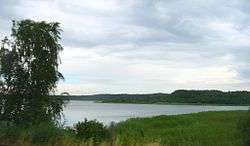
Drewitzer See
| Drewitzer See | |
|---|---|
 | |
| Location | Mecklenburgische Seenplatte, Mecklenburg-Vorpommern |
| Coordinates | 53°32′31″N 12°21′48″E / 53.54194°N 12.36333°ECoordinates: 53°32′31″N 12°21′48″E / 53.54194°N 12.36333°E |
| Primary inflows | subterrean sources |
| Primary outflows | subterrean sources |
| Basin countries | Germany |
| Surface area | 6.92 km2 (2.67 sq mi) |
| Average depth | 9.7 m (32 ft) |
| Max. depth | 31.3 m (103 ft) |
| Surface elevation | 62.4 m (205 ft) |
Drewitzer See is a lake in the Mecklenburgische Seenplatte district in Mecklenburg-Vorpommern, Germany. At an elevation of 62.4 m, its surface area is 6.92 km².
External links
- Nixdorf, B.; et al. (2004), "Drewitzer See", Dokumentation von Zustand und Entwicklung der wichtigsten Seen Deutschlands (in German), Berlin: Umweltbundesamt, p. 68
This article is issued from
Wikipedia.
The text is licensed under Creative Commons - Attribution - Sharealike.
Additional terms may apply for the media files.