Central, Minneapolis
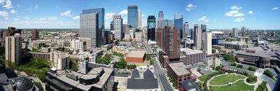
The skyline of Minneapolis.
| Central | |
|---|---|
| Community | |
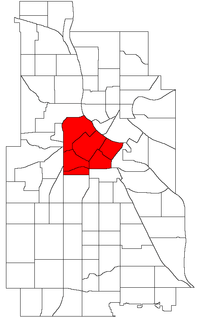 Location of Central within the U.S. city of Minneapolis | |
| Country | United States |
| State | Minnesota |
| County | Hennepin |
| City | Minneapolis |
| Neighborhoods | |
| Area[1] | |
| • Total | 3.024 sq mi (7.83 km2) |
| Population (2017)[2] | |
| • Total | 43,456 |
| • Density | 14,000/sq mi (5,500/km2) |
| Time zone | UTC-6 (CST) |
| • Summer (DST) | UTC-5 (CDT) |
| ZIP code | 55401, 55402, 55403, 55404, 55405, 55411, 55415, 55454, 55487 |
| Area code(s) | 612 |
| Historical population | |||
|---|---|---|---|
| Census | Pop. | %± | |
| 1980 | 18,952 | — | |
| 1990 | 21,158 | 11.6% | |
| 2000 | 24,149 | 14.1% | |
| 2010 | 29,725 | 23.1% | |
The Central community in Minneapolis is located in the central part of the city, consisting of 6 smaller official neighborhoods, and includes Downtown Minneapolis, the central business district. It also includes some high-density residential areas surrounding it, excluding areas east of the Mississippi River.
Official neighborhoods in the Central community
- Downtown East
- Downtown West where most of the high-rise office buildings are located
- Elliot Park
- Loring Park
- North Loop commonly referred to as the Warehouse District
- Stevens Square/Loring Heights
Coordinates: 44°58′35″N 93°16′26″W / 44.9763°N 93.2739°W[3]
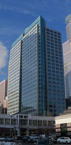
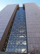
Gallery
 View of downtown Minneapolis from the Stone_Arch_Bridge_(Minneapolis).
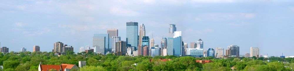 Downtown Minneapolis Panorama
 White U.S. Bancorp towers reflected in the Capella Tower.
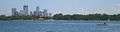 Downtown Minneapolis from Lake Calhoun.
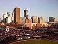 Minneapolis Skyline from Target Field.
 Wells Fargo Center from the Foshay Tower
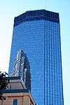
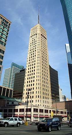 The Foshay Tower
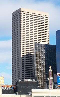 33 South Sixth, also known as the City Center.
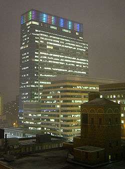 Target Plaza South, the headquarters of Target Corporation, lit up multicolored during the winter.
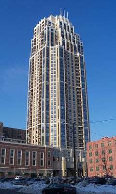 The Carlyle, the tallest residential building in Minneapolis.
 The Hennepin County Government Center, the site of the Occupy Minnesota protests.
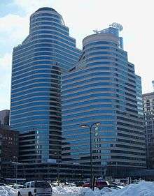
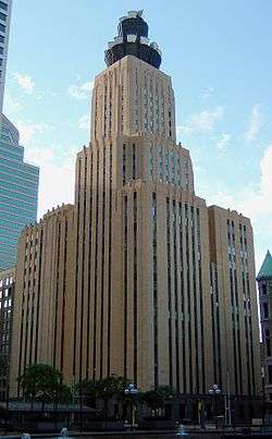 The CenturyLink Building, the 17th tallest building in Minneapolis.
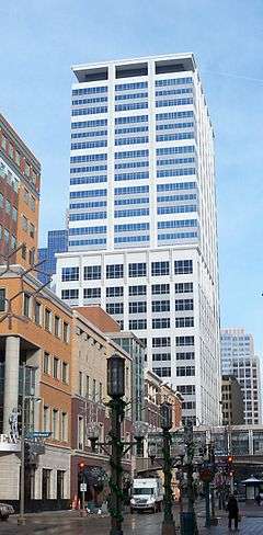
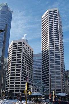 US Bank Plaza, the 6th tallest building in Minneapolis.
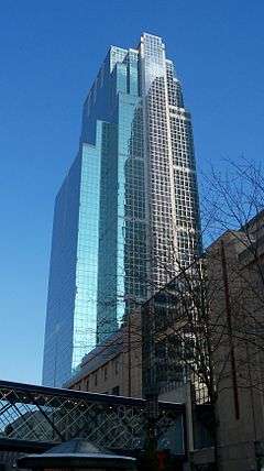

See also
References
| Wikivoyage has a travel guide for Downtown Minneapolis. |
- ↑ "Greater Central neighborhood in Minneapolis, Minnesota (MN), 55401, 55402, 55403, 55404, 55415 detailed profile". City-Data. 2011. Retrieved 2013-11-12.
- ↑ "Minneapolis Community Profile: Central" (PDF). Minnesota Compass. October 2011. Retrieved 2013-11-12.
- ↑ Central, Minneapolis, MN. Google Earth. Retrieved 2011-03-09.
This article is issued from
Wikipedia.
The text is licensed under Creative Commons - Attribution - Sharealike.
Additional terms may apply for the media files.