Deothsidh
| Deotsidh | |
|---|---|
| Pilgrimage town | |
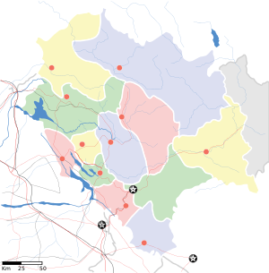
 Deotsidh Location in Himachal Pradesh, India  Deotsidh Deotsidh (India) | |
| Coordinates: 31°27′18″N 76°32′28″E / 31.4551214°N 76.541099°ECoordinates: 31°27′18″N 76°32′28″E / 31.4551214°N 76.541099°E | |
| Country |
|
| State | Himachal Pradesh |
| District | Hamirpur district |
| Government | |
| • Body | Panchayat |
| Area | |
| • Total | 1,118 km2 (432 sq mi) |
| Population (2011) | |
| • Total | 17,252 |
| • Density | 15/km2 (40/sq mi) |
| Languages | |
| • Official | Hindi |
| Time zone | UTC+5:30 (IST) |
| PIN | 174047 |
| Telephone code | 1972 |
| Vehicle registration | HP-21 |
| Nearest city | Shah Talai |
| Sex ratio | 850 ♂/♀ |
| Literacy | 89.0% |
| Lok Sabha constituency | Lok Sabha constituency |
| Vidhan Sabha constituency | Hamirpur Assembly Constituency |
| Civic agency | Panchayat |
| Climate | Cool (Köppen) |
Deotsidh is a pilgrimage town in Barsar tehsil, Hamirpur district, Himachal Pradesh, India. The nearest broad gauge railway station is in Una district, about 60 kilometres (37 mi) distant, and the nearest airport is about 172 kilometres (107 mi) away in Chandigarh.
Annual fair
Beginning on 14 March, which is in the Hindu month of Chaitra, an annual fair is organised at Deotsidh and attracts thousands of devotees from all over India and abroad. The fair commemorates Baba Balak Nath, an incarnation of Kartikeya, the elder son of Shiva.
General information
- Climate: Winters are mild and summers are warm.
- Elevation: 738 metres (2421 feet).
Attractions
The village is a part of a pilgrimage circuit that includes the Chintpurniji, Brajeshwarji, Jawalamukhiji and Chamunda Devi temples. The village has a temple dedicated to Baba Balak Nath, from the top of which can be seen Bhakhra Dam, one of the largest dams in the world.