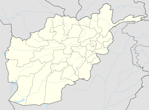
Dadwal
| Dadwal ډډوال | |
|---|---|
 Dadwal Location in Afghanistan | |
| Coordinates: 33°18′37″N 69°47′57″E / 33.31028°N 69.79917°ECoordinates: 33°18′37″N 69°47′57″E / 33.31028°N 69.79917°E | |
| Country |
|
| Province | Khost Province |
| District | Mando Zay District |
| Elevation | 1,267 m (4,157 ft) |
| Time zone | UTC+4:30 |
Ḍaḍwāl (Pashto: ډډوال) is a village and the center of Mando Zay District in Khost Province, Afghanistan. It is located on 33°18′37″N 69°47′57″E / 33.3103°N 69.7992°E at 1267m altitude on south side of Shamal river, it is connected to north a village Aliwat by a bridge which constructed by US army (PRT). The villagers are mostly educated and trained in different jobs. There is girls high school.
See also
This article is issued from
Wikipedia.
The text is licensed under Creative Commons - Attribution - Sharealike.
Additional terms may apply for the media files.