D55 road
| |
|---|---|
| Route information | |
| Length | 48.6 km (30.2 mi) |
| Major junctions | |
| From |
|
|
| |
| To | Bosnia and Herzegovina border crossing (Route 18) |
| Location | |
| Counties | Vukovar-Srijem |
| Major cities | Vukovar, Vinkovci, Županja |
| Highway system | |
| State roads in Croatia | |
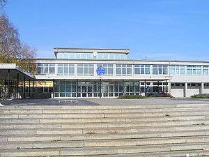
Vinkovci, on the D55 route
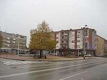
Županja, on the D55 route
D55 state road in the eastern part of Croatia connects the cities and towns of Vukovar, Vinkovci, Županja to the state road network of Croatia, and most notably to the A3 motorway.[1] The road is 48.6 km (30.2 mi) long.[2] The route comprises some urban intersections, mostly in the city of Vinkovci.
The D55 state road intersects the Vukovar-Srijem County exactly through an area that connects the regions of Slavonia and Syrmia.
The road, as well as all other state roads in Croatia, is managed and maintained by Hrvatske ceste, state-owned company.[3]
Traffic volume
Traffic is regularly counted and reported by Hrvatske ceste, operator of the road.[4]
| D55 traffic volume | ||||
| Road | Counting site | AADT | ASDT | Notes |
| 3706 Nuštar | 8,739 | 8,738 | Adjacent to Ž4134 junction. | |
| 3710 Kunjevci | 6,199 | - | Adjacent to Ž4192 junction. Estimate by Hrvatske ceste. | |
| 3719 Županja | 5,495 | 6,781 | The southernmost traffic counting site on the D55 road, adjacent to the border crossing. | |
Road junctions and populated areas
| D55 junctions/populated areas | |
| Type | Slip roads/Notes |
| Borovo (northwestern suburb of Vukovar) The northern terminus of the road.[5] | |
| Bršadin | |
| Ž4111 to Pačetin, Bobota and Vera | |
| Nuštar Ž4134 to Ostrovo and Gaboš. Ž4136 to Cerić. Ž4137 to Bogdanovci. | |
| Vinkovci Ž4136 to Cerić. Ž4169 entirely within Vinkovci. Ž4171 entirely within Vinkovci. Ž4290 entirely within Vinkovci. | |
| Ž4290 to Vinkovci and D46 as a bypass road. | |
| Ž4192 to Rokovci. | |
| Ž4193 to Privlaka. | |
| Ž4222 to Gradište. | |
| Županja Ž4170 to Gradište and Cerna. | |
| Županja border crossing. The southern terminus of the road.[6] | |
Sources
- ↑ "Regulation on motorway markings, chainage, interchange/exit/rest area numbers and names". Narodne novine (in Croatian). May 6, 2003.
- ↑ "Decision on categorization of public roads as state roads, county roads and local roads". Narodne novine (in Croatian). February 17, 2010.
- ↑ "Public Roads Act". Narodne novine (in Croatian). December 14, 2004.
- ↑ "Traffic counting on the roadways of Croatia in 2009 - digest" (PDF). Hrvatske ceste. May 1, 2010. Archived from the original (PDF) on July 21, 2011.
- ↑ 45°22′11″N 18°57′35″E / 45.369848°N 18.9596°E
- ↑ 45°02′47″N 18°42′12″E / 45.046364°N 18.703405°E
This article is issued from
Wikipedia.
The text is licensed under Creative Commons - Attribution - Sharealike.
Additional terms may apply for the media files.