Crocus Hill
| Crocus Hill | |
|---|---|
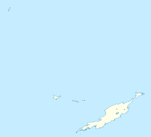 Crocus Hill Location in Anguilla | |
| Highest point | |
| Elevation | 65 m (213 ft) |
| Prominence | 65 m (213 ft) |
| Coordinates | 18°12′43″N 63°04′14″W / 18.21194°N 63.07056°WCoordinates: 18°12′43″N 63°04′14″W / 18.21194°N 63.07056°W |
| Geography | |
| Location | Near The Valley, Anguilla |
Crocus Hill is the highest point of Anguilla, a British overseas territory in the Caribbean, with an elevation of 65 metres (213 ft). The hill is located nearby the capital town of The Valley. Crocus Bay (west of the hill) was named after Crocus Hill.
See also
External links
- (in English) Crocus Hill Map — Satellite Images of Crocus Hill, Maplandia
This article is issued from
Wikipedia.
The text is licensed under Creative Commons - Attribution - Sharealike.
Additional terms may apply for the media files.