Creag Ghlas Laggan
| Creag Ghlas Laggan | |
|---|---|
| Highest point | |
| Elevation | 444 m (1,457 ft) |
| Prominence | 241 m (791 ft) |
| Parent peak | Caisteal Abhail |
| Listing | Marilyn |
| Naming | |
| Translation | ??? (Gaelic) |
| Geography | |
| Location | Isle of Arran, Scotland |
| OS grid | NR977497 |
| Topo map | OS Landranger 69 |
Creag Ghlas Laggan (also known as Fionn Bhealach) is a hill on the Isle of Arran in south-western Scotland. It is the highest point of the seven-mile-long ridge of land that runs north-west to south-east between the A841 road and the Sound of Bute in the north-eastern part of the island. It is classed as a Marilyn (a hill with topographic prominence of at least 150m).
The best way up in terms of scenery is to follow the well-trodden and easily graded path from Lochranza to Bearradh Tom a' Muidhe at grid ref 962508, and strike south-east up the ridge from there. The shortest way up is a straight line from the parking area at Boguillie at grid ref 973483.
The hill has a remarkable variety of geology. On its north-western slopes is the famous Hutton's Unconformity in the Dalradian metasediments. On the north-east shore can be found Carboniferous limestone and Permian desert deposits. At the south-eastern end is some Devonian Old Red Sandstone.
Creag Ghlas Laggan offers stunning views towards Caisteal Abhail and the other peaks such as Goat Fell.
Coordinates: 55°41′56″N 5°13′12″W / 55.69889°N 5.22000°W
| Main villages | 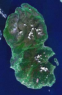 | |
|---|---|---|
| Smaller villages and settlements | ||
| Mountains and hills | ||
| History |
| |
| Environment | ||
| Economy | ||
| Surrounding islands |
| |