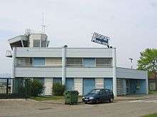
Colmar Airport
| Colmar - Houssen Airport Aéroport de Colmar - Houssen | |||||||||||||||
|---|---|---|---|---|---|---|---|---|---|---|---|---|---|---|---|
 | |||||||||||||||
| Summary | |||||||||||||||
| Airport type | Public | ||||||||||||||
| Serves | Colmar, France | ||||||||||||||
| Location | Houssen | ||||||||||||||
| Elevation AMSL | 627 ft / 191 m | ||||||||||||||
| Coordinates | 48°06′37″N 007°21′33″E / 48.11028°N 7.35917°ECoordinates: 48°06′37″N 007°21′33″E / 48.11028°N 7.35917°E | ||||||||||||||
| Map | |||||||||||||||
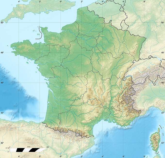 LFGA Location of airport in France | |||||||||||||||
| Runways | |||||||||||||||
| |||||||||||||||
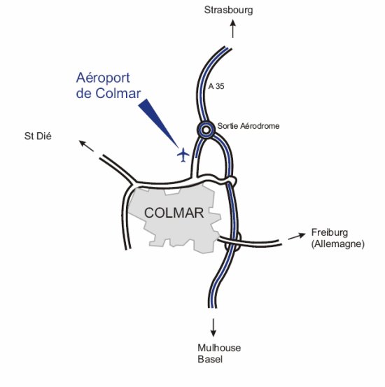
Colmar - Houssen Airport (French: Aéroport de Colmar - Houssen) (IATA: CMR, ICAO: LFGA) is an airport in Houssen, 1 km (1 mile) north of Colmar,[1] both communes in the Haut-Rhin department of the Alsace region in France. The airport is along Autoroute A35 and is served by the Colmar Station.[3]
Facilities
The airport resides at an elevation of 627 feet (191 m) above mean sea level. It has one paved runway designated 01/19 which measures 1,610 by 30 metres (5,282 ft × 98 ft) and a parallel grass runway measuring 950 by 80 metres (3,117 ft × 262 ft).
References
- 1 2 LFGA – COLMAR HOUSSEN. AIP from French Service d'information aéronautique, effective 11 October 2018.
- ↑ (in French) Aéroport de Colmar - Houssen (CMR / LFGA) Archived 2012-09-11 at the Wayback Machine. at Union des Aéroports Français
- ↑ "Access to the airport Archived 2011-03-01 at the Wayback Machine.." (Map) Colmar Airport. Retrieved on July 7, 2010.
External links
This article is issued from
Wikipedia.
The text is licensed under Creative Commons - Attribution - Sharealike.
Additional terms may apply for the media files.