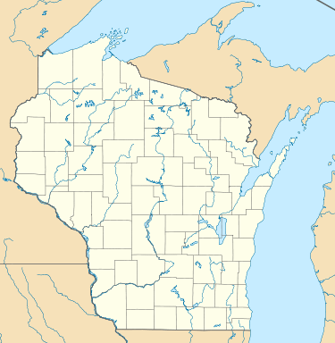
Lake Chippewa (Wisconsin)
| Lake Chippewa | |
|---|---|
| Chippewa Flowage | |
 Lake Chippewa  Lake Chippewa | |
| Location | Sawyer County, Wisconsin |
| Coordinates | 45°55′47″N 91°11′55″W / 45.9296596°N 91.1987329°WCoordinates: 45°55′47″N 91°11′55″W / 45.9296596°N 91.1987329°W |
| Type | Reservoir |
| Primary outflows | Chippewa River |
| Surface area | 14,593 acres (5,906 ha)[1] |
| Max. depth | 92 feet (28 m) |
| Surface elevation | 1,312 feet (400 m) |
| Settlements | New Post |
Lake Chippewa, also known as Chippewa Flowage, is an artificial lake in northwestern Wisconsin.[2] It is fed by the East Fork Chippewa River and the West Fork Chippewa River. Winter Dam at the southern end is where the Chippewa River flows out of the lake.[3]
References
- ↑ "Report For Lake Chippewa". USGNIS. Retrieved 3 January 2018.
- ↑ "Lake Chippewa at Wisconsin Department of Natural Resources Retrieved January 29, 2016
- ↑ Chippawa Flowage at Wisconsin Department of Natural Resources retrieved January 29, 2016.
External links
This article is issued from
Wikipedia.
The text is licensed under Creative Commons - Attribution - Sharealike.
Additional terms may apply for the media files.