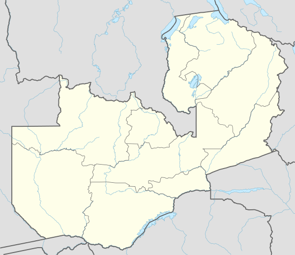
Chembe

Chembe is a new District pronounced by the late President Michael Sata in the Luapula Province of Zambia. It once had the Chembe Ferry as a means of crossing the Luapula River from DR Congo to Zambia; but now, it is the home of the Mwanawasa bridge, named after the late former president Levy Mwanawasa. The Mwanawasa bridge connects the principal Luapula highway to the Congo Pedicle road, a dirt highway maintained by Zambia through Congolese territory to link Mansa to the Copperbelt.
The 350metres bridge has helped transportation woes brought about by the Chembe Ferry of old.With the pronouncement of Chembe as a new District, it has seen unprecedented economic growth, among them, New Chembe Boarding Secondary School, Chembe district hospital, Economic Zone, and soon to be launched 600mega watts solar power plant.
Also among the most recent developments is the new Manganize Mine which has seen a $7 million investment. Chembe is witnessing new economic growth, as investments keep flocking in.
References
- Camerapix: Spectrum Guide to Zambia. Camerapix International Publishing, Nairobi, 1996.
- Terracarta/International Travel Maps, Vancouver Canada: Zambia, 2nd edition, 2000.
- Google Earth has high resolution photos of Chembe with ferry and bridge construction clearly visible at lat -11.984 lon 28.734.