Cerro Castillo, Chile
| Cerro Castillo | |
|---|---|
 | |
| Region | Magallanes |
| Province | Última Esperanza |
| Municipalidad | Torres del Paine |
| Comuna | Torres del Paine |
| Government | |
| • Type | Municipalidad |
| • Alcalde | Fernando Paredes Mansilla |
| Population (2002 census) | |
| • Total | 163 |
| Time zone | UTC−04:00 (Chilean Standard) |
| • Summer (DST) | UTC−03:00 (Chilean Daylight) |
| Area code(s) | Country + town = 56 + 61 |
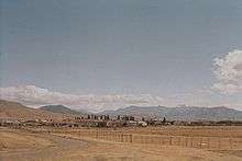
Cerro Castillo is a hamlet (Spanish: caserío) southeast of Torres del Paine National Park, and is the head of Torres del Paine commune, in Magallanes Region.
The village is close to the Argentine border. The Chilean customs and immigration offices serving the border crossing (officially known as Río Don Guillermo) are located in the village.
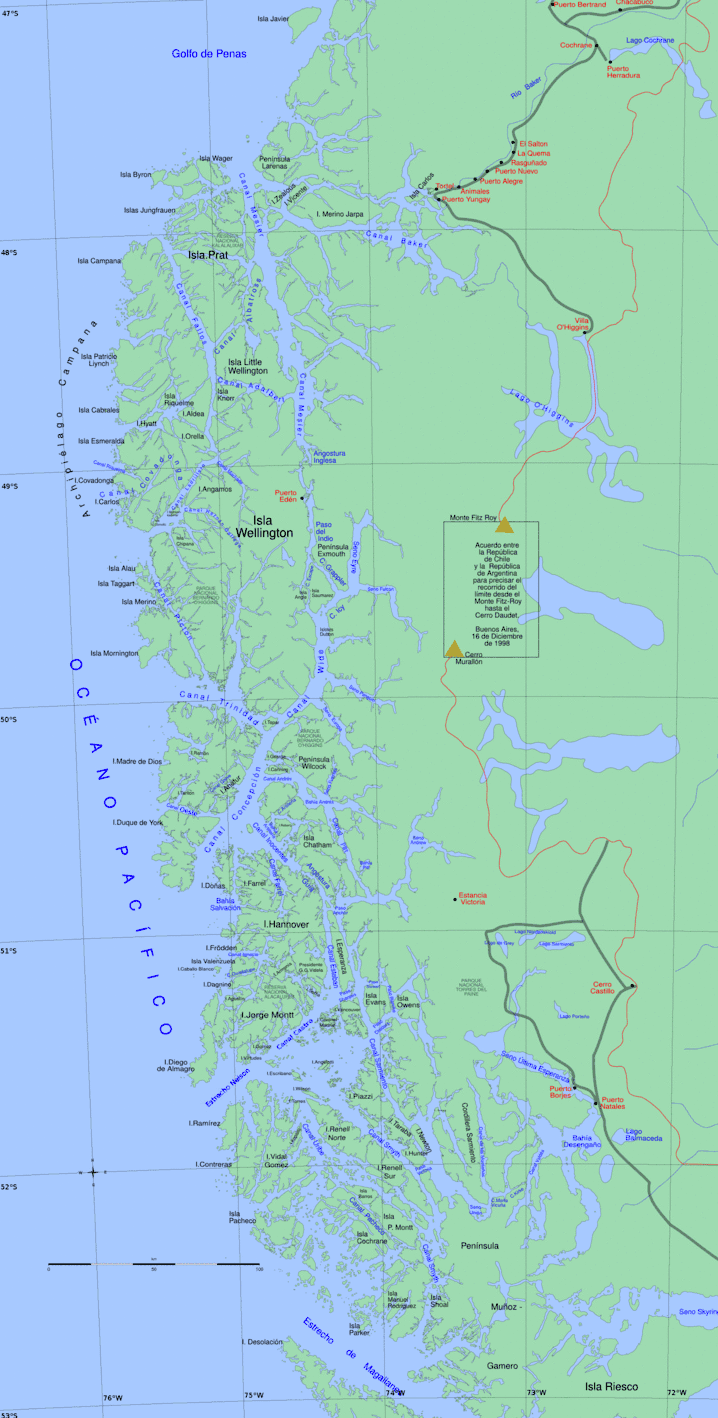
Coordinates: 51°15′33″S 72°20′42″W / 51.25917°S 72.34500°W
This article is issued from
Wikipedia.
The text is licensed under Creative Commons - Attribution - Sharealike.
Additional terms may apply for the media files.