Cassini map
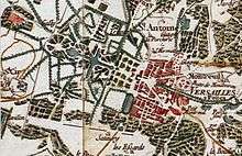
Versailles on the Cassini map
The Cassini map is the first general map of the Kingdom of France.
It was on a scale of one line to 100 toises, i.e. 1/86,400.
See also
This article is issued from
Wikipedia.
The text is licensed under Creative Commons - Attribution - Sharealike.
Additional terms may apply for the media files.