Los Caracoles Dam
| Los Caracoles Dam | |
|---|---|
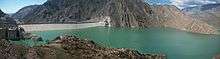 Upstream face of the dam | |
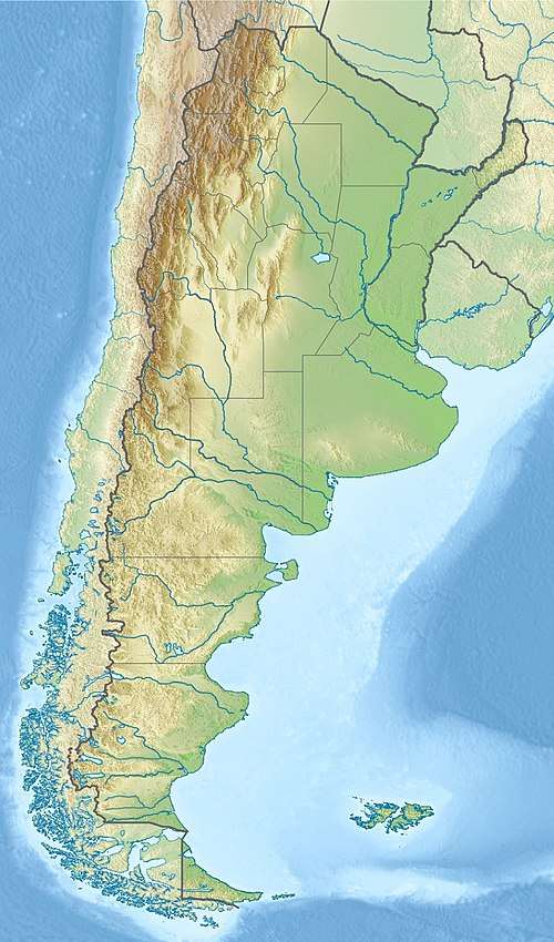 Location of Los Caracoles Dam in Argentina | |
| Country | Argentina |
| Location | San Juan, San Juan Province |
| Coordinates | 31°31′8.60″S 68°58′54.39″W / 31.5190556°S 68.9817750°WCoordinates: 31°31′8.60″S 68°58′54.39″W / 31.5190556°S 68.9817750°W |
| Purpose | Irrigation, power |
| Status | Operational |
| Construction began | 2004 |
| Opening date | 2009 |
| Owner(s) | Energia Provincial Sociedad del Estado SA |
| Dam and spillways | |
| Type of dam | Embankment, concrete-face rock-fill |
| Impounds | San Juan River |
| Height | 136 m (446 ft) |
| Length | 605 m (1,985 ft) |
| Reservoir | |
| Total capacity | 565,000,000 m3 (458,000 acre⋅ft) |
| Surface area | 13 km2 (5.0 sq mi) |
| Maximum length | 13 km (8.1 mi) |
| Commission date | 2009 |
| Hydraulic head | 150 m (490 ft) |
| Turbines | 2 x 63 MW (84,000 hp) Francis-type |
| Installed capacity | 126 MW (169,000 hp) |
The Lost Caracoles Dam, or Caracoles Dam is a concrete-face rock-fill dam on the San Juan River about 44 kilometres (27 mi) west of San Juan in San Juan Province, Argentina. The purpose of the dam is to provide water for irrigation and the generation of hydroelectric power. The 136-metre (446 ft) tall dam supports a 126 megawatts (169,000 hp) power station and together with the Punta Negra Dam downstream, it provides for the irrigation of 15,000 hectares (37,000 acres). Construction began in 2004 and the dam and power station were completed in 2009.[1][2]
See also
- Ullum Dam – downstream of Punta Negra
References
| Wikimedia Commons has media related to Caracoles Dam. |
- ↑ "Hydroelectric Plants in Argentina". IndustCards. Archived from the original on 18 July 2009. Retrieved 28 April 2014.
- ↑ "Hydroelectric power plants" (PDF). Panedile. Archived from the original (PDF) on 29 April 2014. Retrieved 28 April 2014.
This article is issued from
Wikipedia.
The text is licensed under Creative Commons - Attribution - Sharealike.
Additional terms may apply for the media files.