Bureinsky Ridge
| Bureinsky Ridge | |
|---|---|
| Russian: Буреинский хребет | |
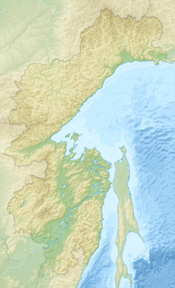 Bureinsky Ridge in Khabarovsk Krai | |
| Geography | |
| Country | Russia |
| State/Province | Khabarovsk Krai |
| Range coordinates | 50°0′0″N 133°0′0″E / 50.00000°N 133.00000°ECoordinates: 50°0′0″N 133°0′0″E / 50.00000°N 133.00000°E |
Bureinsky Ridge (Russian: Буреинский хребет) (50°N 133°E / 50°N 133°E) is a ridge in the Khabarovsk Krai in the southern part of the Russian Far East, spanning about 400 km and with a maximum height of 2167m.
The ridge is the drainage divide of the Bureya, Amgun and Urmi rivers. The Dusse-Alin Tunnel on the Baikal Amur Mainline crosses the ridge to enter the Amgun River valley.
This article is issued from
Wikipedia.
The text is licensed under Creative Commons - Attribution - Sharealike.
Additional terms may apply for the media files.