Broomhaugh
| Broomhaugh | |
|---|---|
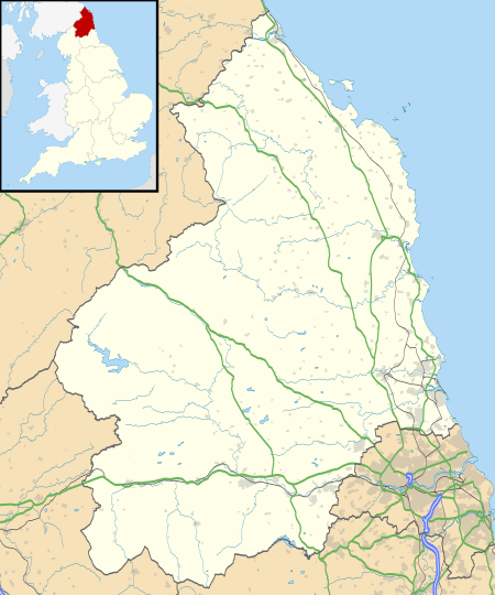 Broomhaugh Broomhaugh shown within Northumberland | |
| OS grid reference | NZ015615 |
| Unitary authority | |
| Ceremonial county | |
| Region | |
| Country | England |
| Sovereign state | United Kingdom |
| Post town | RIDING MILL |
| Postcode district | NE44 |
| Dialling code | 01434 |
| Police | Northumbria |
| Fire | Northumberland |
| Ambulance | North East |
| EU Parliament | North East England |
| UK Parliament | |
Broomhaugh is a village in Northumberland, in England. It is situated between Hexham and Newcastle, to the south of the River Tyne near Riding Mill, and adjacent to the A695 road.
Broomhaugh lies at the eastern edge of the village of Riding Mill. Broomhaugh consists of a mix of stone buildings dating back to the 16th and 17th centuries, an Edwardian terrace and two brick-built terraces linked to the development of the railway between Newcastle and Carlisle. The earlier buildings include a former farm house, farm buildings converted into houses and a Methodist chapel and manse. The majority of the housing is located on what local people refer to as "The Street", which runs down to a former ford across the river Tyne. The Street follows the line of a former drovers' road down which cattle were driven from Scotland to the market towns of northern England.
References
External links
![]()