Breitentalskopf
| Breitentalskopf | |
|---|---|
 Breitentalskopf | |
| Highest point | |
| Elevation | 579.1 m (1,900 ft) |
| Prominence | 39 m ↓ Gropenborn |
| Isolation | 1,365 km → Gropenbornskopf |
| Coordinates | 51°41′36″N 10°25′51″E / 51.69333°N 10.43083°ECoordinates: 51°41′36″N 10°25′51″E / 51.69333°N 10.43083°E |
| Geography | |
| Location |
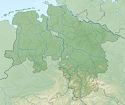
southeast of Sieber in Göttingen district in Lower Saxony, |
| Parent range | Harz Mountains |
The Breitentalskopf is a hill in the Harz Mountains of central Germany, that rises southeast of Sieber in the district of Göttingen in Lower Saxony. It is 579.1 m high and separates the River Sieber from the Breitental valley (with its stream, the Tiefenbeek), that gave the hill its name. Towards the southeast is the ridge of the Aschentalshalbe.
Sources
- Topographic map 1:25000, No. 4328 Bad Lauterberg in Harz
This article is issued from
Wikipedia.
The text is licensed under Creative Commons - Attribution - Sharealike.
Additional terms may apply for the media files.