Retalhuleu Airport
| Retalhuleu Airport Base Aérea del Sur | |||||||||||
|---|---|---|---|---|---|---|---|---|---|---|---|
| Summary | |||||||||||
| Airport type | Military/Public | ||||||||||
| Location | Retalhuleu, Retalhuleu, Guatemala | ||||||||||
| Elevation AMSL | 656 ft / 200 m | ||||||||||
| Coordinates | 14°31′16″N 091°41′50″W / 14.52111°N 91.69722°WCoordinates: 14°31′16″N 091°41′50″W / 14.52111°N 91.69722°W | ||||||||||
| Map | |||||||||||
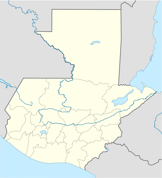
 MGRT Location in Guatemala | |||||||||||
| Runways | |||||||||||
| |||||||||||
| Statistics (2016) | |||||||||||
| |||||||||||
Retalhuleu Airport or Base Aérea del Sur (IATA: RER, ICAO: MGRT) is an airport serving Retalhuleu, the capital of Retalhuleu Department in Guatemala.
The Retalhuleu non-directional beacon (Ident: REU) is located on the field.[4]
Statistics
The airport handled 1,442 passengers in 2016.[5]
See also
References
- ↑ Airport information for MGRT at World Aero Data. Data current as of October 2006.
- ↑ Airport information for RER at Great Circle Mapper.
- ↑ Google Maps - Retalhuleu
- ↑ REU NDB
- ↑ "Dos aerolíneas ofrecerán vuelos desde Guatemala hacia Puerto Barrios por 110 dólares" [Two airlines will offer flights from Guatemala City to Puerto Barrios for $110]. El Diario de Hoy (in Spanish). 23 January 2017. Archived from the original on 6 February 2017. Retrieved 5 February 2017.
External links
- Retalhuleu Airport
- OpenStreetMap - Retalhuleu
- Current weather for MGRT at NOAA/NWS
- Accident history for RER at Aviation Safety Network
This article is issued from
Wikipedia.
The text is licensed under Creative Commons - Attribution - Sharealike.
Additional terms may apply for the media files.