Barrow Island (Queensland)
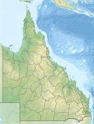
Barrow Island is part of the Great Barrier Reef Marine Park in Ninian Bay, 90 km South East of Cape Melville, Queensland. It is a few hundred metres from Barrow Point, where a mine is located.
References
This article is issued from
Wikipedia.
The text is licensed under Creative Commons - Attribution - Sharealike.
Additional terms may apply for the media files.