Barovo
| Barovo | |
|---|---|
| Village | |
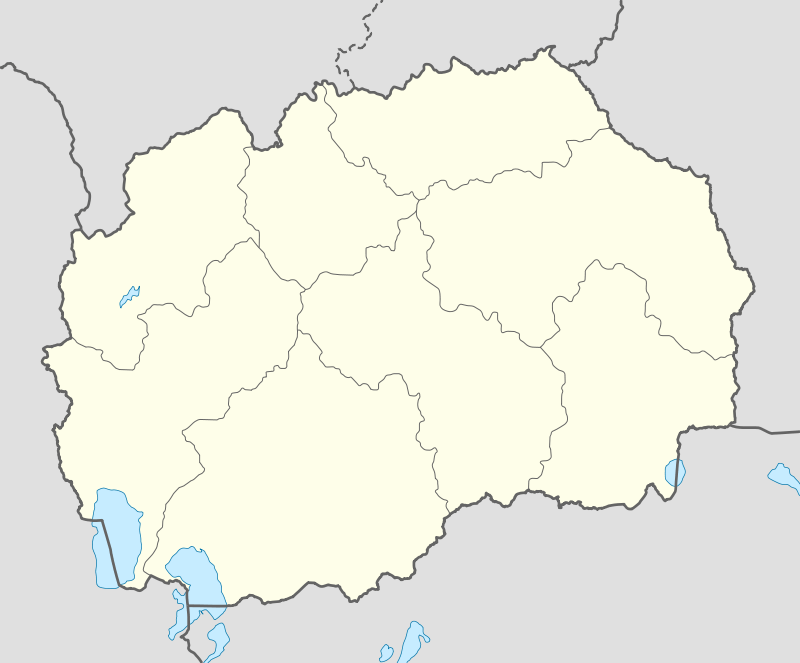 Barovo Location within Macedonia | |
| Coordinates: 41°20′38″N 22°08′26″E / 41.34389°N 22.14056°ECoordinates: 41°20′38″N 22°08′26″E / 41.34389°N 22.14056°E | |
| Country |
|
| Statistical region | Vardar Statistical Region |
| Municipality | Demir Kapija Municipality |
Barovo is in the southern region of the Demir Kapija Municipality. It is a point on many searchable satellite or internet maps. Barovo is settled in a wooded area, rather isolated on a road to the south of the town of Demir Kapija past the church. Barovo is the second inhabited village on this road to Konopiste. The village church, built in 1908 unfortunately has fallen due to lack of inhabitants to care for it. Many Demir Kapija residents still use the land in or near Barovo to cultivate grapes. Some families still have a house standing there but there are very few villagers who are there nonstop.
Notes
- Demir Kapija: From Prehistory to Today ISBN 9989-712-65-4, p 96
This article is issued from
Wikipedia.
The text is licensed under Creative Commons - Attribution - Sharealike.
Additional terms may apply for the media files.