Búlandstindur
| Búlandstindur | |
|---|---|
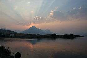 Búlandstindur view from Djúpivogur | |
| Highest point | |
| Elevation | 1,069 m (3,507 ft) |
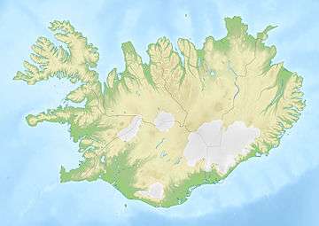
| Coordinates | 64°41′45″N 14°25′24″W / 64.69583°N 14.42333°WCoordinates: 64°41′45″N 14°25′24″W / 64.69583°N 14.42333°W |
| Geography | |
 Búlandstindur | |
Búlandstindur is a mountain in Eastern Iceland between the bays Berufjörður and Hamarsfjörður. Mt. Búlandstindur is 1,069 metres (3,507 ft) above sea level. It is a pyramid-shaped stack of basaltic strata.
Sources
| Wikimedia Commons has media related to Búlandstindur. |
This article is issued from
Wikipedia.
The text is licensed under Creative Commons - Attribution - Sharealike.
Additional terms may apply for the media files.