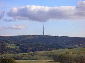
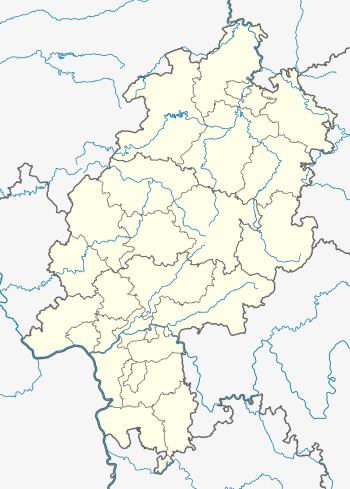
Angelburg (hill)
| Angelburg | |
|---|---|
 | |
| Highest point | |
| Elevation | 609 m (1,998 ft) |
| Prominence | 180 m (590 ft) |
| Isolation | 12 kilometres (7.5 mi) |
| Parent peak | 610 m, Eichholzkopf (Rothaargebirge) |
| Coordinates | 50°47′18″N 8°25′44″E / 50.78833°N 8.42889°ECoordinates: 50°47′18″N 8°25′44″E / 50.78833°N 8.42889°E |
| Geography | |
| Parent range | Gladenbach Uplands |
The Angelburg is a hill in Hesse, Germany. At an elevation of 609 metres above sea level, its peak is located in Lahn-Dill-Kreis district, near the local centre of Hirzenhain-Bahnhof, which is part of Eschenburg.
This article is issued from
Wikipedia.
The text is licensed under Creative Commons - Attribution - Sharealike.
Additional terms may apply for the media files.