Andrewsfield Aerodrome
| Andrewsfield Aerodrome | |||||||||||||||
|---|---|---|---|---|---|---|---|---|---|---|---|---|---|---|---|
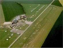 Aerial image, 1991 | |||||||||||||||
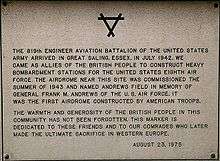 USAAF memorial plaque | |||||||||||||||
| Summary | |||||||||||||||
| Airport type | Private-owned, Public-use | ||||||||||||||
| Operator | Andrewsfield Aviation Ltd. | ||||||||||||||
| Serves | Braintree, Essex | ||||||||||||||
| Elevation AMSL | 286 ft / 87 m | ||||||||||||||
| Coordinates | 51°53′42″N 000°26′57″E / 51.89500°N 0.44917°ECoordinates: 51°53′42″N 000°26′57″E / 51.89500°N 0.44917°E | ||||||||||||||
| Map | |||||||||||||||
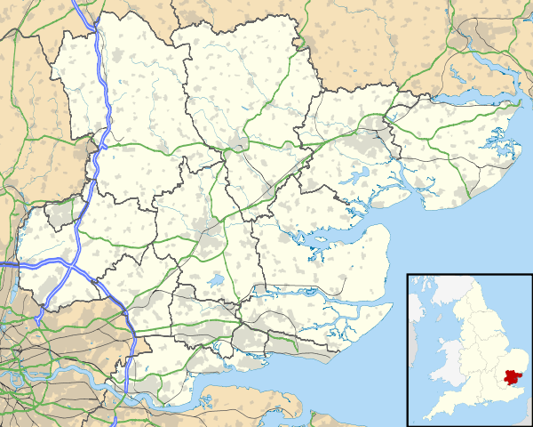 EGSL Location in Essex | |||||||||||||||
| Runways | |||||||||||||||
| |||||||||||||||
Andrewsfield Aerodrome (ICAO: EGSL) is located 4 NM (7.4 km; 4.6 mi) west northwest of Braintree, Essex, England, formerly RAF Andrews Field. Both the grass runways are 18 m (59 ft) wide and at night serve as a single 36 m (118 ft) runway. It has one sock which is of an orange colour.
Andrewsfield Aerodrome has a CAA Ordinary Licence (Number P789) that allows flights for the public transport of passengers or for flying instruction as authorised by the licensee (Andrewsfield Air Operations Limited).[2]
See also
- RAF Andrews Field the original World War II base
References
External links
| Wikimedia Commons has media related to Andrewsfield Airport. |
This article is issued from
Wikipedia.
The text is licensed under Creative Commons - Attribution - Sharealike.
Additional terms may apply for the media files.