Ambalage
| Ambalage | ||
|---|---|---|
| Town | ||
| ||
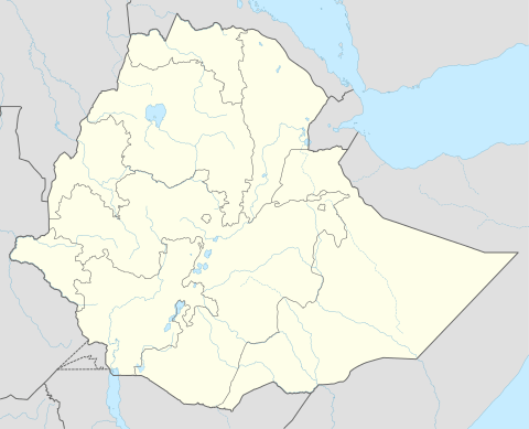 Ambalage Location within Ethiopia | ||
| Coordinates: 12°56′N 39°31′E / 12.933°N 39.517°ECoordinates: 12°56′N 39°31′E / 12.933°N 39.517°E | ||
| Country | Ethiopia | |
| Region | Tigray | |
| Elevation | 2,450 m (8,040 ft) | |
| Time zone | UTC+3 (EAT) | |

Ambalage is a town in southern Tigray, Ethiopia. This town has a latitude and longitude of 12°56′N 39°31′E / 12.933°N 39.517°E with an elevation of 2445 to 2480 meters above sea level and is located along Ethiopian Highway 2. Ambalage is located just south of the mountain Amba Alagi, from which the name of the town was derived. An 'amba' is a flat-topped mountain (mesa).
History
During the Woyane rebellion in 1943, Basha Gugusa, one of the first Woyanne leaders, led the battle of Ambalage in the month of September 1943. In the battle of Ambalage, the rebels gained victory over the Imperial army which was well equipped and supported by British airpower. The Weyane forces outnumbered those of the government, but their advantage in numbers was offset by artillery and British air power.