Nur Mountains
| Nur Mountains | |
|---|---|
| Alma-Dağ | |
 Nur Mountains | |
| Highest point | |
| Elevation | Bozdağ Dağı |
| Naming | |
| Native name | Nur Dağları |
| Geography | |
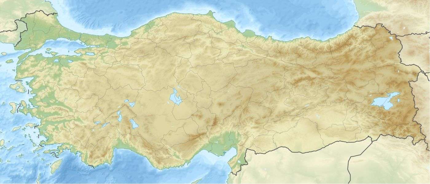
| Country | Turkey |
| Province | Hatay |
The Nur Mountains (Turkish: Nur Dağları, "Mountains of Holy Light"), formerly known as Alma-Dağ[1] or the ancient Amanus (Ancient Greek: Ἁμανός), is a mountain range in the Hatay Province of south-central Turkey, which runs roughly parallel to the Gulf of İskenderun.
The range reaches a maximum elevation of 2,240 m (7,350 ft) and divides the coastal region of Cilicia from inland Syria. The highest peak is Bozdağ Dağı. A major pass through the mountains known as the Syrian Gates or Belen Pass is located near the town of Belen. Another pass known as the Bahçe Pass or Amanic Gates is farther north.
The specific term "Mount Amanus" is referred to by ancient writers,[2][3] it was also used in 1976, to described the position where Iris kirkwoodiae was found.[4] It was later called Alma-Dağ or Alma Dug;[5] though its exact location within the range is unclear, it may at times refer to Belen Pass.
References
- ↑ Merriam-Webster's Geographical Dictionary, Third Edition. Springfield, MA: Merriam-Webster. 1997. p. 855. Retrieved 19 January 2017.
- ↑ Grote, George (1862). A History of Greece. London: John Murray. p. 312. Retrieved 19 January 2017.
- ↑ Anthon, Charles (1872). A Classical Dictionary. New York: Harper & Brothers. Retrieved 19 January 2017.
- ↑ Pries, Bob (26 August 2016). "(SPEC) Iris kirkwoodiae Chaud". wiki.irises.org (American Iris Society). Retrieved 2 January 2018.
- ↑ Montgomery, Alexander (1853). The Illustrated Magazine of Art. New York. p. 84. Retrieved 19 January 2017.
- The Times Atlas of the World
Coordinates: 36°45′N 36°20′E / 36.750°N 36.333°E