Alto Douro (region)
| UNESCO World Heritage site | |
|---|---|
 | |
| Location | Carrazeda de Ansiães, Portugal |
| Criteria | Cultural: (iii), (iv), (v) |
| Reference | 1046 |
| Inscription | 2001 (25th Session) |
| Area | 24,600 ha (95 sq mi) |
| Buffer zone | 225,400 ha (870 sq mi) |
| Coordinates | 41°06′06″N 7°47′56″W / 41.1017°N 7.7989°WCoordinates: 41°06′06″N 7°47′56″W / 41.1017°N 7.7989°W |
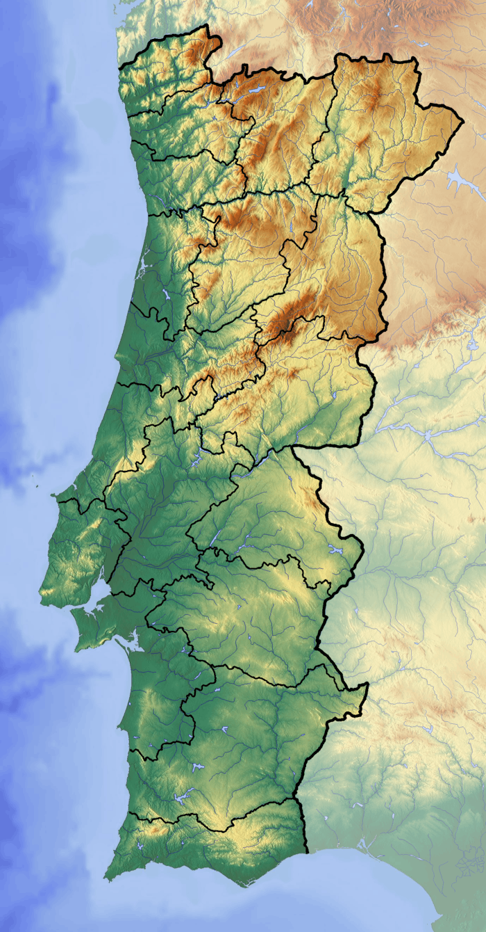 Location of Alto Douro in Portugal | |
Alto Douro was one of the 13 regions of continental Portugal identified by geographer Amorim Girão, in a study published between 1927 and 1930.
Together with Trás-os-Montes it became Trás-os-Montes e Alto Douro Province.
References
This article is issued from
Wikipedia.
The text is licensed under Creative Commons - Attribution - Sharealike.
Additional terms may apply for the media files.