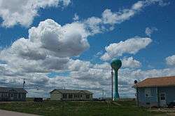
Allen, South Dakota
| Allen Census-Designated Place, South Dakota wagmíza wakpála | |
|---|---|
| CDP | |
 | |
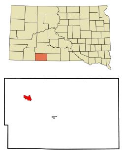 Location in Bennett County and the state of South Dakota | |
 Allen Census-Designated Place, South Dakota Location of Allen 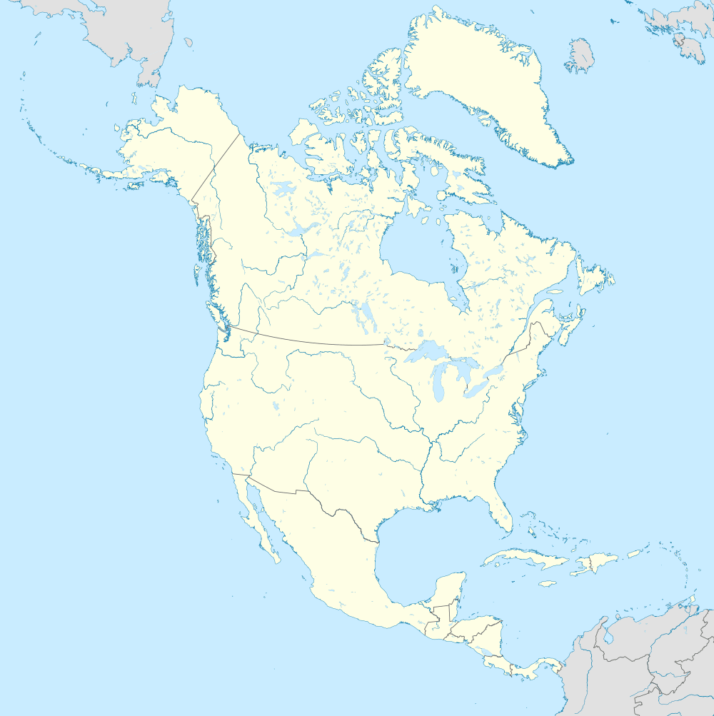 Allen Census-Designated Place, South Dakota Allen Census-Designated Place, South Dakota (North America) | |
| Coordinates: 43°16′50″N 101°55′40″W / 43.28056°N 101.92778°WCoordinates: 43°16′50″N 101°55′40″W / 43.28056°N 101.92778°W[1] | |
| Country | United States |
| state | South Dakota |
| Counties | Bennett |
| Area | |
| • Total | 3.9 sq mi (10.2 km2) |
| • Land | 3.9 sq mi (10.2 km2) |
| • Water | 0 sq mi (0 km2) |
| Population (2010)[2] | |
| • Total | 420 |
| • Density | 107.7/sq mi (41.2/km2) |
| ZIP code | 57714 |
Allen Census Designated Place (Lakota: wagmíza wakpála;[3] "corn creek") is a census-designated place in Bennett County, South Dakota, named for the Town of Allen, which it encompasses. As of the 2010 census, the CDP had a population of 420. It is considered the poorest place in the United States. It is one of two places which are closest to the North American continental pole of inaccessibility. It is also located on the Pine Ridge Reservation.
History
The CDP is named for the Town of Allen, which in turn was named for Charles W. Allen, the town's first merchant.[4]
Geography
According to the United States Census Bureau, the CDP has a total area of 3.9 square miles (10 km2), all land.
Allen has been assigned the ZIP code 57714 throughout the CDP.
In North America, the continental pole of inaccessibility is between Kyle and Allen, located 1650 km (1024 mi) from the nearest coastline at 43°22′N 101°58′W / 43.36°N 101.97°W.[5]
Demographics
| Historical population | |||
|---|---|---|---|
| Census | Pop. | %± | |
| 2000 | 419 | — | |
| 2010 | 420 | 0.2% | |
| U.S. Decennial Census | |||
2010
As of the census of 2010, there were 420 people residing in the CDP.[6]
2000
As of the census[7] of 2000, there were 419 people, 80 households, and 70 families residing in the CDP. The population density was 106.8 people per square mile (41.3/km²). There were 87 housing units at an average density of 22.2/sq mi (8.6/km²). The racial makeup of the CDP was 4.30% White, 94.03% Native American, and 1.67% from two or more races. Hispanic or Latino of any race were 1.43% of the population.
There were 80 households out of which 62.5% had children under the age of 18 living with them, 21.3% were married couples living together, 50.0% had a female householder with no husband present, and 12.5% were non-families. 10.0% of all households were made up of individuals and 1.3% had someone living alone who was 65 years of age or older. The average household size was 5.24 and the average family size was 5.51.
In the CDP, the population was spread out with 50.4% under the age of 18, 13.8% from 18 to 24, 21.5% from 25 to 44, 12.2% from 45 to 64, and 2.1% who were 65 years of age or older. The median age was 18 years. For every 100 females, there were 99.5 males. For every 100 females age 18 and over, there were 89.1 males.
The median income for a household in the CDP was $7,578, and the median income for a family was $3,819. Males had a median income of $0 versus $12,188 for females. The per capita income for the CDP was $1,539. About 95.9% of families and 96.1% of the population were below the poverty line, including 97.1% of those under age 18 and 100.0% of those age 65 or over.
References
- ↑ "US Gazetteer files: 2010, 2000, and 1990". United States Census Bureau. February 12, 2011. Retrieved April 23, 2011.
- ↑ "2010 Census Redistricting Data (Public Law 94-171) Summary File". American FactFinder. United States Census Bureau. Archived from the original on July 21, 2011. Retrieved March 31, 2012.
- ↑ Ullrich, Jan F. (2014). New Lakota Dictionary (2nd ed.). Bloomington, IN: Lakota Language Consortium. ISBN 978-0-9761082-9-0. Archived from the original on October 18, 2016. Retrieved February 12, 2014.
- ↑ Federal Writers' Project (1940). South Dakota place-names, v.1-3. University of South Dakota. p. 21.
- ↑ Garcia-Castellanos, D.; U. Lombardo (2007). "Poles of Inaccessibility: A Calculation Algorithm for the Remotest Places on Earth" (PDF). Scottish Geographical Journal. 123 (3): 227–233. doi:10.1080/14702540801897809. Archived from the original (PDF) on June 30, 2014. Retrieved January 19, 2018.
- ↑ South Dakota: 2010: Population and Housing Unit Counts, 2012-09, 11. Accessed January 5, 2014.
- ↑ "American FactFinder". United States Census Bureau. Archived from the original on September 11, 2013. Retrieved January 31, 2008.
Municipalities and communities of Bennett County, South Dakota, United States | ||
|---|---|---|
| City | 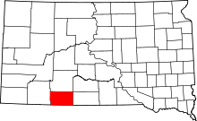 | |
| CDP | ||
| Unorganized territories |
| |
| Unincorporated communities | ||
| Indian reservation | ||
| Footnotes | ‡This populated place also has portions in an adjacent county or counties | |