Alamanda, Vizianagaram district
| Alamanda | |
|---|---|
| village | |
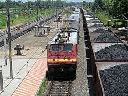 Prashanti Express at Alamanda Train station | |
 Alamanda Location in Andhra Pradesh, India  Alamanda Alamanda (India) | |
| Coordinates: 17°59′00″N 83°14′00″E / 17.9833°N 83.2333°ECoordinates: 17°59′00″N 83°14′00″E / 17.9833°N 83.2333°E | |
| Country |
|
| State | Andhra Pradesh |
| District | Vizianagaram |
| Elevation | 60 m (200 ft) |
| Languages | |
| • Official | Telugu |
| Time zone | UTC+5:30 (IST) |
| PIN | 535 240 |
| Vehicle registration | AP-35 |
Alamanda is a village panchayat in Jami mandal of Vizianagaram district, Andhra Pradesh, India. There is a railway station in Alamanda in Waltair division of East Coast Railway, Indian Railways.
Demographics
As of 2001 census, the village demographics are as follows:[1]
- Total Population - 6,563 in 1,397 households.
- Male Population - 3,346
- Female Population - 3,217
- Children under 6 years of age - 750 (Boys - 375 and Girls - 375)
- Total Literates - 2,967
References
This article is issued from
Wikipedia.
The text is licensed under Creative Commons - Attribution - Sharealike.
Additional terms may apply for the media files.