Al-H̨arīq
| al-H̨arīq الحريق | |
|---|---|
 al-H̨arīq | |
| Coordinates: 23°38′N 46°31′E / 23.63°N 46.51°ECoordinates: 23°38′N 46°31′E / 23.63°N 46.51°E | |
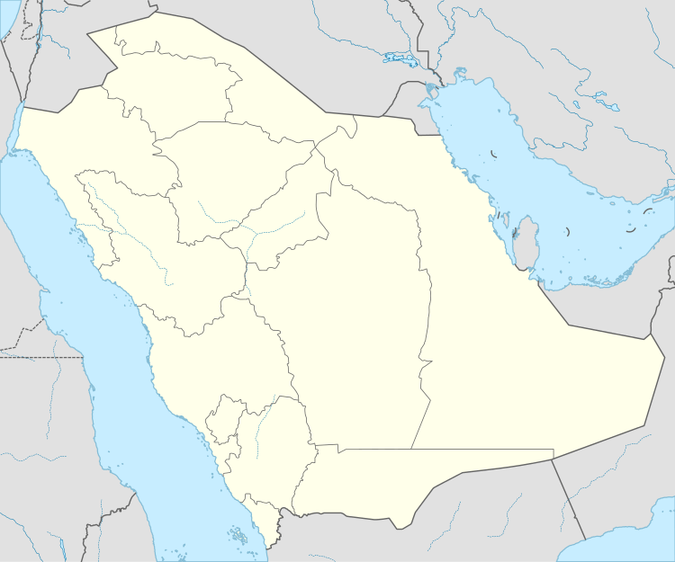
| Country |
|
| Province | Riyadh Province |
| Population (2004) | |
| • Total | 7,304 |
| Time zone | UTC+3 (EAT) |
| • Summer (DST) | UTC+3 (EAT) |
al-H̨arīq or Al Hareeq (Arabic: الحريق) is a small town in Riyadh Province, Saudi Arabia. It is located 308 kilometres (191 mi) by road south of Riyadh.[1] As of the 2004 census it had a population of 7304 people.[2]
Describe
AL-hariq is a small village ,located in the south of Riyadh ,it is considered one of the subordinate villages of Bani Tamim ,famous for palm cultivation and trange.
| Climate data for Al-Hariq | |||||||||||||
|---|---|---|---|---|---|---|---|---|---|---|---|---|---|
| Month | Jan | Feb | Mar | Apr | May | Jun | Jul | Aug | Sep | Oct | Nov | Dec | Year |
| Average high °C (°F) | 20.4 (68.7) |
23.5 (74.3) |
28.3 (82.9) |
32.7 (90.9) |
38.4 (101.1) |
41.4 (106.5) |
42.2 (108) |
41.8 (107.2) |
39.6 (103.3) |
34.1 (93.4) |
27.2 (81) |
21.9 (71.4) |
32.6 (90.7) |
| Average low °C (°F) | 10.3 (50.5) |
8.3 (46.9) |
14.3 (57.7) |
18.4 (65.1) |
23.3 (73.9) |
25.4 (77.7) |
26.6 (79.9) |
24.6 (76.3) |
23.2 (73.8) |
18.1 (64.6) |
13.6 (56.5) |
9.4 (48.9) |
18 (64.3) |
| Average precipitation mm (inches) | 11 (0.43) |
7 (0.28) |
27 (1.06) |
28 (1.1) |
7 (0.28) |
0 (0) |
0 (0) |
0 (0) |
0 (0) |
1 (0.04) |
4 (0.16) |
9 (0.35) |
94 (3.7) |
| Source: Climate-data.org | |||||||||||||
References
- ↑ Maps (Map). Google Maps.
- ↑ "Saudi Arabia: largest cities and towns and statistics of their population". World Gazetteer. Archived from the original on 18 February 2012. Retrieved 27 August 2012.
Capital: Riyadh | |
This article is issued from
Wikipedia.
The text is licensed under Creative Commons - Attribution - Sharealike.
Additional terms may apply for the media files.