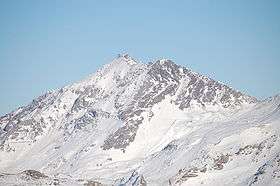
Aiguille Rouge
| Aiguille Rouge | |
|---|---|
 | |
| Highest point | |
| Elevation | 3,226 m (10,584 ft) |
| Coordinates | 45°33′07″N 06°50′55″E / 45.55194°N 6.84861°ECoordinates: 45°33′07″N 06°50′55″E / 45.55194°N 6.84861°E |
| Geography | |
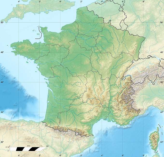 Aiguille Rouge France | |
| Location | Savoie, France |
| Parent range | Massif de la Vanoise |
Aiguille Rouge is a mountain of Savoie, France. It lies in the Massif de la Vanoise range. It has an elevation of 3,227 metres above sea level, and is the highest point within the ski area of Les Arcs. It can be reached by cable-car.
This article is issued from
Wikipedia.
The text is licensed under Creative Commons - Attribution - Sharealike.
Additional terms may apply for the media files.