Aavasaksa
| Aavasaksa | |
|---|---|
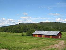 Aavasaksa seen from the southwest in July 2004 | |
| Highest point | |
| Elevation | 242 m (794 ft) |
| Coordinates | 66°23′52″N 23°43′30″E / 66.39778°N 23.72500°ECoordinates: 66°23′52″N 23°43′30″E / 66.39778°N 23.72500°E |
| Geography | |
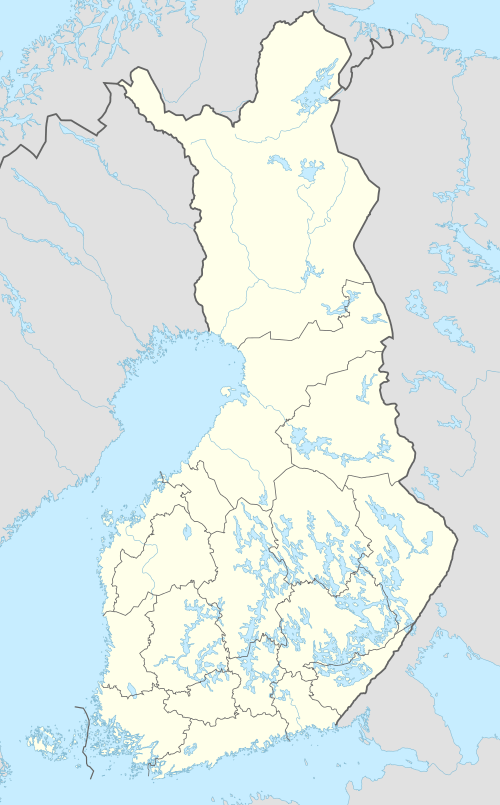 Aavasaksa Location of Aavasaksa in Finland | |
| Location | Lapland, Finland |
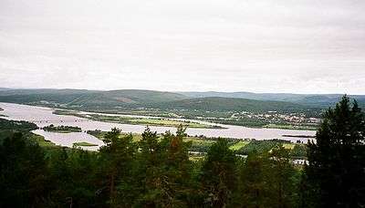
Aavasaksa is a sharp-edged hill in Ylitornio municipality in Finnish Lapland. It has an elevation of 242 metres (794 ft). Aavasaksa is famous for its sights both towards Finland and Sweden, and it is included to the list of the National landscapes of Finland. Emperor Alexander II of Russia visited the site in 1876. Decorative hunting cabin Keisarinmaja (English: the Emperor's camp) is one of the buildings on top of the hill; it is now used as a cafe.
Due to Aavasaksa's distinctive elevation above other nearby hills, it was first used by Pierre Louis Maupertuis in the French Geodesic Mission (1736–1737), and later became part of the Struve Geodetic Arc. As a result of this, UNESCO named Aavasaksa a World Heritage Site, along with the 33 other sites used in the Struve Geodetic Arc.
Aavasaksa is often considered the southernmost point in Finland where the midnight sun is literally visible. The hill is surrounded by rivers running next to it: Torne River to the west and the smaller Tengeliö river to the east and north.
Asteroid 2678 Aavasaksa is named after the hill.
References
- Struve Arc in Finland
- Sights at Ylitornio (in Finnish)
External links
![]()