Aa (Möhne)
| Aa | |
|---|---|
.JPG) | |
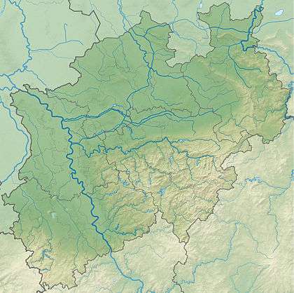 North Rhine-Westphalia | |
| Country | Germany |
| State | North Rhine-Westphalia |
| Physical characteristics | |
| Main source | 459 m (1,506 ft) |
| River mouth |
Möhne 387 m (1,270 ft) 51°25′07″N 8°34′59″E / 51.4186°N 8.5831°ECoordinates: 51°25′07″N 8°34′59″E / 51.4186°N 8.5831°E |
| Basin features | |
| Progression | Möhne→ Ruhr→ Rhine→ North Sea |
Aa is a river of North Rhine-Westphalia, Germany. It is 7.4 kilometres (4.6 mi) long and is a left tributary of the Möhne in Brilon. The river has a watershed of 23.071 square kilometres (8.908 sq mi).
The source of Aa in the village of Altenbüren. From here it flows in an easterly direction. At 473 metres (1,552 ft) above sea level its course meanders to the north. Nearby the Hillbringse flows in from the south. Half a kilometer farther are five former mills in Aatal, called Aamühlen. The Fülsenbecke flows in near here from the north. The Aa overcomes an elevation difference of 72 metres (236 ft), which corresponds to an average bed slope of 9.7 percent.
See also
This article is issued from
Wikipedia.
The text is licensed under Creative Commons - Attribution - Sharealike.
Additional terms may apply for the media files.