Île aux Chevaux
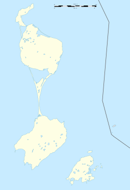
.jpg) Île aux Chevaux is in the north end of the Grand Barachois, a lagoon between the islands of Le Cap and Miquelon, fewer than 100 meters off the southern shores of the latter. Its spit comes about 40 meters east of an easterly spit off the Miquelon southern coast. | |
 Île aux Chevaux | |
| Geography | |
|---|---|
| Location | Atlantic Ocean |
| Coordinates | 46°59′57.1″N 56°18′34.1″W / 46.999194°N 56.309472°WCoordinates: 46°59′57.1″N 56°18′34.1″W / 46.999194°N 56.309472°W |
| Archipelago | Saint Pierre and Miquelon |
| Adjacent bodies of water | Gulf of Saint Lawrence |
| Administration | |
| Overseas collectivity | Saint Pierre and Miquelon |
| Demographics | |
| Languages | French |
| Additional information | |
| Official website | http://www.miquelon-langlade.com |
Île aux Chevaux is an island in Saint Pierre and Miquelon, a French territory off the southern coast of Newfoundland, Canada.
Location
Île aux Chevaux is in the north end of the Grand Barachois, a lagoon between the islands of Le Cap and Miquelon, fewer than 100 meters off the southern shores of the latter.
See also
References
This article is issued from
Wikipedia.
The text is licensed under Creative Commons - Attribution - Sharealike.
Additional terms may apply for the media files.